Maritime Awareness System
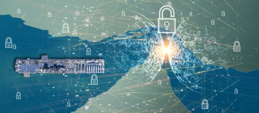
MAS, the Cutting-Edge of Maritime IntelligenceCLS’ Maritime Awareness System (MAS) offers a unique solution to detect and monitor threats at sea.
Relying on AI-driven technologies, we process a large volume of heterogeneous data, accelerating decision-making with valuable insights.
Reliable and Secured Platform for Decisive Insights
Through artificial intelligence, we deliver actionable intelligence, provide behavioural analysis, identify any abnormality and raise alerts upon specific risks.
Selection of best quality data available through a wide range of maritime data partners
Processing and fusion of heterogeneous information through big data technologies
Abnormal patterns detection, predictive analysis and risk assessment with AI algorithms
MAS, an easy-to-use web platform to access actionable and predictive intelligence
Main Features
Real-time behavioural analysis
Perform automated detection of ship’s behaviour and receive alerts in case of any suspected vessel’s behaviour or event, such as transhipment, shipbreaking…
Review history of any ship and analyse their past movements for investigation.
Live monitoring
Monitor large and remote areas, any fleet or vessel of interest using heterogeneous data (satellite and terrestrial AIS, LRIT and VMS, RF detection, radar & optical imagery).
Manage your risk and identify non-compliant actors by searching vessels against sanctions lists (MoUs, OFAC, UN…) and relevant indicators on ownership, structure, documentation…
Latest News
GNSS Spoofing in the Strait of Hormuz: Restoring Trust in Maritime Positioning
A growing threat in a critical maritime chokepoint The Strait of Hormuz, located between Iran and the Arabian Peninsula, is one of the most strategic maritime routes in the world. Every day, a...
Dark Fleet Vessel Tracking: The “Grinch” Case with MAS
In early 2026, the oil tanker “Grinch” was intercepted by French authorities following suspicious voyages linked to Russian oil exports. Suspected of operating within the Russian dark fleet, the...
SAR Mission Performance Cluster (MPC): How CLS Ensures Satellite Data Quality
High-quality satellite data is the foundation downstream applications, including reliable maritime intelligence. Before radar images are delivered to operational users, a critical process takes...
Begin with CLS
How can we help you? CLS works with partners in all areas, both private and public, in charge of maritime surveillance. If you want to know how we can help you increase your performance, get in touch with our team.