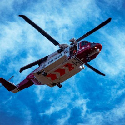
Themis SAR
Decisive Software for Life-Saving OperationsBased on our experience in the COSPAS-SARSAT system in which CLS has been involved since 2000, we developed Themis SAR, the most advanced Search & Rescue decision support system following IAMSAR procedures.
Through this Incident Management System, navies and coastguards are empowered with a crucial software to save lives at sea.
CLS takes Action in Every Step of Search and Rescue Operations
Through artificial intelligence, we deliver actionable intelligence, provide behavioural analysis, identify any abnormality and raise alerts upon specific risks.

Themis SAR Main Features
Transcription of alerts
Ability to decode COSPAS-SARSAT alerts coming from MCCs and other types of alerts (phone or radio calls…).
Environmental data
Meteorological and oceanographic data for drift modelling and monitoring of search & rescue conditions (currents, winds, tides, swell, surface temperature, sea ice, cloud cover…).
Drift model types
Automated calculation of search patterns with advanced standard and stochastic drift models compatible with IAMSAR guidelines and CLS’ in-house particle modelling system to determine search areas and probability of succes.
Multisource data
Integration of vessel position data (AIS, VMS, LRIT) and satellite imagery to gather insights on areas and objects being searched.
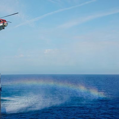
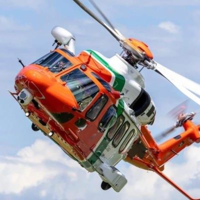
Multiple SRUs management
Access to available resources database (ships, aircrafts, helicopters…) with additional information (technical characteristics, personnel on board, etc.) and real-time tracking of SRUs towards search area (including Spidertrack).
Geographical data
Customise the monitoring of rescue operations by creating your own areas and assigning specific features (last known position, area of interest…).
Integrate local data and access different charts (satellite map, marine map) and marine layers (MPAs, EEZs, SAR areas…).
Advanced platform
Easy-to-use and multi-user collaboration platform with 3D operations display, objects style customisation (Search & Rescue Units, SAR, patterns, zones, drift…).
Communication module
Mailbox for communication and coordination between operators and SAR operations stakeholders (RCC to RCC, or RCC to MCC…).
Aeronautical incident management
Tools and drift models for aeronautical search area determination.
Automated reports
Generation of reports at specific formats (SITREP or SAPREP) for reliable and secured dispatch of crucial information, notably SAP (Search Action Plan) including calculation information and search patterns.
Annotation and decision log
Possibility for operators to annotate each scenario and to access timestamped logbook to track all decisions taken.
")

")
Latest News
Maritime Search and Rescue Solution THEMIS SAR: Co-Building Innovation to Save Lives at Sea
When a Search and Rescue alert is triggered at sea, teams must react with speed and precision. In such moments, the ability to predict a casualty’s likely drift and coordinate assets efficiently can...
With THEMIS SAR, We Help Organize and Manage Search and Rescue Operations
When a disaster occurs, the role of search and rescue teams becomes paramount in saving lives. Indeed, one of the major components of search and rescue is first the conduct of the search to locate...
CLS Kick-Off: THEMIS SAR System for Irish Coast Guard
On June 26, CLS organized a THEMIS SAR kick-off meeting for the IRCG - Irish Coast Guard. CLS has been awarded to provide a Search and Planning System for Search & Rescue operations. In addition...
Begin with CLS
How can we help you? CLS works with partners in all areas, both private and public, in charge of maritime surveillance. If you want to know how we can help you increase your performance, get in touch with our team.