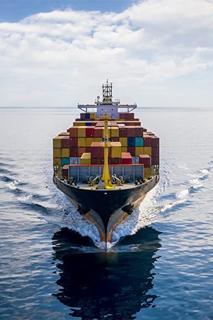
Maritime Surveillance Expertise
Actionnable data for Maritime Safety and SecurityFor more than 30 years, CLS develops pioneering solutions for today’s maritime decision makers across both private and public sectors.
Relying on satellite and drone technologies, we provide value-added services for the entire maritime community throughout solutions for maritime domain awareness, regulatory compliance, or fleet management.
Unleash the Power of Data
120+ experts in AI, big data, data fusion, data mining
24/7/365 analysis capacity & customer service availability to provide personal support
+99,9% availability rate of CLS applications thanks to on-premises operations & data centre
Our Expertise
CLS works hand in hand with maritime stakeholders to provide key actionable information to help you make time-critical decisions.
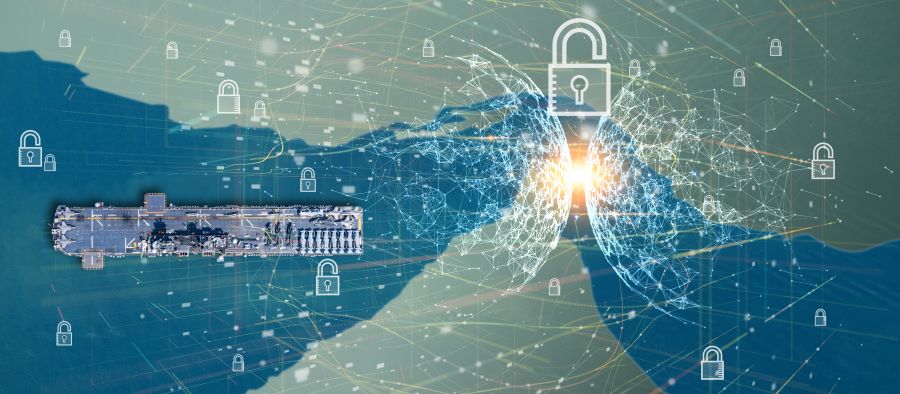
A unique access to global data
Working with multiple providers worldwide, CLS gives you access to the data you need: geolocation data (satellite and terrestrial AIS, LRIT and VMS), Earth Observation data (radar and optical imagery), satellite RF detection, meteorological and oceanographic data, vessel commercial databases, etc.
An expert in data fusion and AI technologies
Thanks to its unique position on the data value chain, CLS is an expert provider of state-of-the-art solutions based on multi-sensors data. Our teams are able to process, fuse and analyse multisource data from various sensors including satellite or drones towards development of operational applications in support of maritime daily challenges.
Customised solutions for each maritime actor
Maritime risk & intelligence platform for maritime domain awareness and sanction compliance, maritime surveillance and search & rescue operations, compliance with IMO regulations such as SOLAS convention for ship security and safety (LRIT and SSAS solutions), tracking and business intelligence services leaning on Inmarsat, Iridium and Argos satellite network.
Whatever your need is, CLS is the right partner!
Recognised technical expertise worldwide
To meet users’ expectations, our team counts numerous maritime analysts, experts in satellite imagery and maritime intelligence, authors of reference regularly solicited by national and international organisations and involved in R&D projects related to satellite data innovation.
Testimonies

(…) We are following with great interest the development of the TRIMARAN III service, provided by CLS, especially its ability to correlate information of different kinds. We have recently conducted several experiments, which have allowed us to evaluate CLS services.
These experiments have been promising and have allowed us to understand the qualities and areas for improvement. We remain convinced that part of the success lies in the ability to correlate data from various sensors. The last query showed the using the new TRIMARAN III portal was intuitive.
French Navy Staff Officer, Operation Division
Discover CLS Maritime Applications
Maritime Domain Awareness & Law Enforcement
Maritime
Compliance
Maritime
Fleet Management
Latest News
GNSS Spoofing in the Strait of Hormuz: Restoring Trust in Maritime Positioning
A growing threat in a critical maritime chokepoint The Strait of Hormuz, located between Iran and the Arabian Peninsula, is one of the most strategic maritime routes in the world. Every day, a...
Dark Fleet Vessel Tracking: The “Grinch” Case with MAS
In early 2026, the oil tanker “Grinch” was intercepted by French authorities following suspicious voyages linked to Russian oil exports. Suspected of operating within the Russian dark fleet, the...
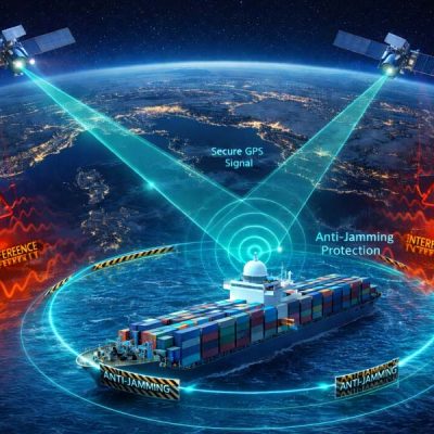
CLS Launches GNSS Jamming and Spoofing Protection with its RockFLEET Assured beacon
CLS announces the launch of RockFLEET Assured, a new GNSS jamming and spoofing protection solution developed in partnership with Ground Control, a CLS Group subsidiary. As maritime operations face...

")

")
Begin with CLS
How can we help you? CLS works with partners in all areas, both private and public, in charge of maritime surveillance. If you want to know how we can help you increase your performance, get in touch with our team.