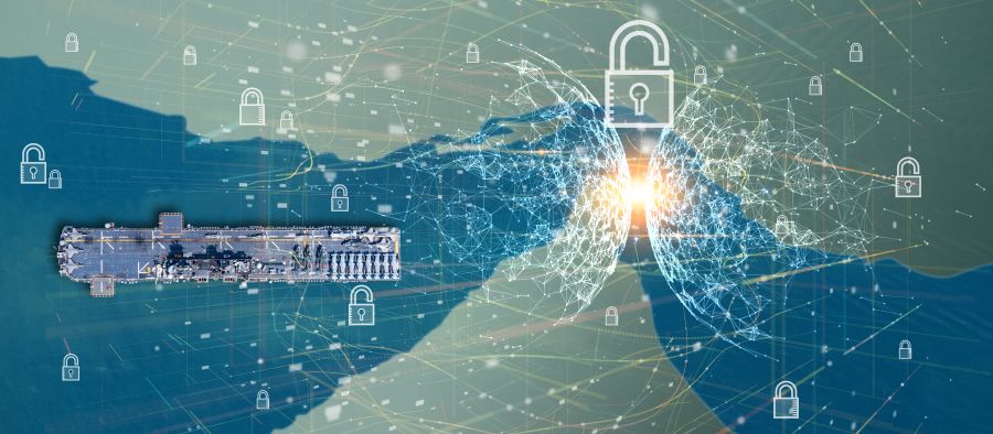
Maritime Domain Awareness & Law Enforcement
CLS provides drone and space-based services for the safety and security of people and assets at sea: detection of illegal activities (air and marine pollution, IUU fishing, people and goods trafficking, smuggling, piracy, border control…), monitoring and management of areas, fleets, or vessels of interest, and support to Search & Rescue operations.
Get an unequaled surface picture for enhanced maritime intelligence.
Securing the World’s Seas
CLS works hand in hand with maritime authorities and law enforcement agencies to guarantee the sovereignty of their waters.
400+
imaging and geopositionning satellites used in CLS’ MDA solutions
90+
millions of AIS messages processed every day
25,000+
optical and radar images processed every year
Fixed/Rotary
wing and hybrid RPAS deployable by CLS for multipurpose maritime surveillance


Testimonies

(…) CLS provides us with an all-in-one means of real-time surveillance of our identified targets, for a wide range of missions and even in the most remote maritime zones (…)
(…) MAS also enables us to detect suspicious trajectories or behavior at sea. Supported by powerful algorithms and AI, the solution highlights ships requiring advanced control among the thousands of vessels transiting our waters every day (…)
MAS also integrates satellite acquisitions, enabling us to enhance our knowledge of our maritime territory.
(…) The CLS solution is the perfect complement to our existing systems, and is now proving indispensable in our day-to-day missions to combat illicit maritime trafficking in drugs, arms and human beings.
Patrick Roussel, in charge of “Operational Transformation” at the French Customs’ National Coastguard Directorate
")

")
Latest News
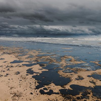
Probabilistic Oil Spill Modeling for Emergency Response
Marine oil spill incidents at sea represent a major challenge for maritime safety and environmental protection. In emergency situations, authorities and response teams operating in marine and...
GNSS Spoofing in the Strait of Hormuz: Restoring Trust in Maritime Positioning
A growing threat in a critical maritime chokepoint The Strait of Hormuz, located between Iran and the Arabian Peninsula, is one of the most strategic maritime routes in the world. Every day, a...
Dark Fleet Vessel Tracking: The “Grinch” Case with MAS
In early 2026, the oil tanker “Grinch” was intercepted by French authorities following suspicious voyages linked to Russian oil exports. Suspected of operating within the Russian dark fleet, the...
Begin with CLS
How can we help you? CLS works with partners in all areas, both private and public, in charge of maritime surveillance. If you want to know how we can help you increase your performance, get in touch with our team.