RPAS Capabilities
RPAS tactically complement satellite situation awareness, positioning CLS at the pinnacle of real-time, exhaustive maritime surveillance to combat daily threats at sea.
RPAS: the Ideal System to Complement Satellite Data
Geographical persistency
RPAS can cover large areas over extended periods. Get the full maritime picture by the combination of satellite and RPAS data

Operations 24 hours a day
Our RPAS can be operated day and night in a broad range of environmental conditions

Cost-effectiveness
Our RPAS as a service solution will provide you with significant operational flexibility compared to traditional response assets

The RPAS you need
Choose among a fixed wing, a rotary wing or a hybrid to suit your operational needs
RPAS as a Service
We deliver turnkey services to main European stakeholders leveraging cost-effective RPAS solutions providing an efficient component for maritime surveillance to end users.
Local Ground Control Station for pilots and payload operations with RLoS and BRLoS communications with RPAS
From long range operations at sea to vessel-based operations, use the suitable RPAS to meet your requirements
CLS’ Remote Mission Portal for real-time or replay visualisation of operations, live chat with mission crew and data archiving


Our Deployable Drones
From long endurance fixed-wings to rapidly deployable helicopters, CLS relies on a fleet of RPAS to answer your specific needs.

TEKEVER AR3
More info

TEKEVER AR4
More info

TEKEVER AR5
More info

SWISSDRONES SD0 50V2
More info
The REACT Consortium
Discover the best of RPAS technology and maritime analytics, with the unique alliance between the drone manufacturer Tekever and the maritime surveillance services provider CLS.
Latest News
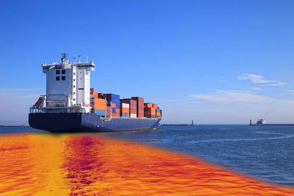
Oil Spills: When every minute counts
CLS helps locating oil spill enabling time critical decision making with an unquestioned level of security and reliability.

Let’s talk drones and maritime security with Jim Sharples
Meet our team! Interview of Jim Sharples, engineer in charge of drone solutions at CLS. His specialty? Aeronautics, and drones specifically.
Illegal discharge, a common threat with disastrous ecological cost that can be mitigated by satellites and drones
Relying on main radar satellite constellations and RPAS capabilities, CLS delivers in-depth analysis based on SAR imagery and in-situ drone data, detects and identifies oil slicks
Begin with CLS
How can we help you? CLS works with partners in all areas, both private and public, in charge of maritime surveillance. If you want to know how we can help you increase your performance, get in touch with our team.