← Back
A Victory for the Oceans: CLS Expertise Establishes a Legal Precedent

On April 25, 2025, the Court of Appeal of Rouen delivered a historic ruling: for the first time in France, a vessel — the Guardians — was convicted of marine pollution based solely on satellite detection, without any direct visual observation.
This major legal breakthrough, widely reported by the media, marks a turning point in the fight against marine pollution. CLS, a key player in this case, looks back on its decisive role in this unprecedented conviction.
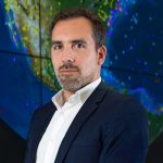
Interview with Vincent Kerbaol, satellite imagery expert before the Rouen Court.
Pioneering Maritime Surveillance Expertise
CLS: Vincent, before discussing this historic ruling, could you introduce yourself and explain your role at CLS?
Vincent Kerbaol: “I am Head of Innovation and Solutions within the Maritime Security Business Unit at CLS. In this role, I oversee the development and deployment of satellite data analysis tools to enhance maritime safety.
Regarding marine pollution monitoring, we have been active since the early 2000s, notably collaborating with CEDRE to establish methodologies for detecting and classifying oil spills via satellite imagery, as well as discriminating against false positives and validating detections with in-situ, especially aerial, means.
Our collaboration was developed through pioneering European projects such as ROSES and MARRCOAST, which played a key role in establishing best practices for the launch of EMSA’s CleanSeaNet service (European Maritime Safety Agency).”
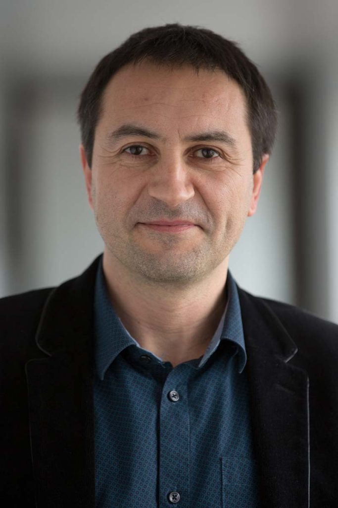
Vincent KERBAOL, Head of Innovation and Solution, Maritime Surveillance business unit – Site manager of CLS Brest
The Heart of the Case: Illegal Discharge and Conviction
Can you explain exactly what happened? How was CLS involved in this illegal discharge case?
“In 2021, our satellite imagery analysis center, VIGISAT, detected a characteristic pollution signature off the coast of Le Havre, using radar imagery received by one of our satellite ground stations.
CLS analyzed the image and produced a report confirming a Class A pollution event (with over 90% certainty). This report was then transmitted to EMSA under the CleanSeaNet program.”
Why is this a historic first? What sets this conviction apart from previous maritime pollution cases?
“It is the first time in France that satellite imagery alone has been recognized as sufficient evidence to secure a conviction for illegal marine pollution.
There was a similar precedent in Europe: in 2012, in English territorial waters, the vessel MAERSK KIERA was detected — through satellite imagery analyzed by our VIGISAT center — polluting twice on the same day.
At that time, satellite imagery was used to confirm the ship’s presence in British waters during the pollution events.
The Guardians case marks the first time in France where satellite imagery alone served as the central piece of evidence, setting a strong legal precedent.”
How did satellite radar imagery and CLS’s expertise help establish the proof? What specific technical aspects convinced the judges?
“We first verified that the radar signature detected displayed all typical characteristics of an oily pollution event, as documented in our analysis protocols. Then, we demonstrated a strong correlation between the shape of the detected oil slick and the AIS trajectory of the suspect vessel. Our methodologies for satellite detection, classification, and fusion of radar and AIS data were crucial.
Finally, a complementary drift study conducted by CEDRE (Center for documentation, research and experimentation on accidental water pollution) , taking into account wind and current effects in the Seine estuary, provided decisive scientific evidence that convinced the Court of Appeal.”
A Turning Point for Ocean Protection
Vincent, what impact could this ruling have on future efforts to combat marine pollution?
“It opens the door to new legal precedents: from now on, satellite imagery can be used as admissible evidence in similar cases, significantly strengthening the ability of authorities to prosecute and convict polluters.”
Do you believe this could encourage more countries or international organizations to adopt satellite surveillance for pollution control?
“Absolutely — and the momentum is already underway.
For instance, after the Express Pearl disaster, Sri Lanka adopted satellite-based technologies to strengthen its environmental protection policies. Each year, more countries are following suit, recognizing the value of satellite surveillance for environmental governance.”
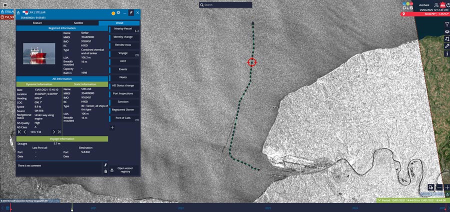
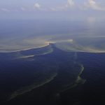
Pollution trail from the vessel Guardians displayed in CLS’ Maritime Awareness System (MAS).
The CLS Method: Innovation, Rigor, and Commitment
CLS has been monitoring the oceans for over 20 years. How has our detection and analysis capacity evolved since the start of EMSA’s CleanSeaNet program?
“Launched in 2007, the CleanSeaNet program revolutionized European maritime surveillance.
CLS, through its Brest-based VIGISAT satellite acquisition and analysis station inaugurated in 2009, initially operated with satellites like ENVISAT, RADARSAT-1, and RADARSAT-2.
Over time, our capacity has expanded with a network of ground stations and near-real-time access to new radar satellite constellations such as Sentinel-1A&B (and soon Sentinel-1C and 1D), TerraSAR-X, PAZ, and ICEYE.
We continuously integrate new satellite missions to enhance our revisit frequency and improve service capabilities for our clients.
Since the early 2010s, we have also incorporated satellite AIS trajectory analysis to better identify responsible vessels and have refined our drift models — resulting in faster, more accurate pollution alerts delivered today in under 20 minutes.”
Which tools or specific methodologies were used in this case? Can you tell us more about the VIGISAT station and our radar processing chains?
“VIGISAT, the first civilian station of its kind, receives and analyzes radar data from multiple satellites. Today, VIGISAT operates a network of geographically distributed stations for near-real-time surveillance across almost all European waters and ensures average access times of about two hours worldwide.
Our automated processing chains detect ships, estimate their length, course, and speed, and precisely measure wind conditions (speed and direction). Our analysts use ACUITY, CLS’s advanced analysis platform, to integrate contextual data sources and rigorously link detected pollution to responsible vessels.”
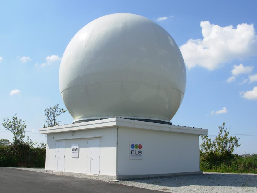
The VIGISAT station in Brest
The Vital Role of Satellite Analysts
The role of radar analysts remains little known. Could you describe this profession and its importance for protecting the oceans?
“The work of an analyst is strategic for our operations — both complex and demanding. Most of our analysts come from national maritime authorities, where they developed strong maritime and operational expertise. They are trained to work under pressure, strictly follow procedures, and master multiple sources of satellite data — radar imagery, optical imagery, RF emission detection, and AIS tracking.
“At VIGISAT in Brest, our analysts no longer simply interpret single images — they build complex maritime situational analyses. Their work now involves mastering satellite revisit constraints and programming acquisitions to meet urgent operational needs. “Their expertise aggregates deep knowledge of maritime regulations, illicit traffic patterns, and detection of suspicious behavior — critical assets for environmental surveillance.
There is no specific academic curriculum for this profession: it is built through direct operational experience and continuous trainin”.
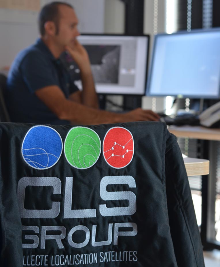
The Vigisat Operations Center in Brest is the heart of our expertise in satellite imagery interpretation.
The Impact of Continuous Surveillance on Pollution Reduction
Thanks to the CleanSeaNet program and CLS’s strong commitment, hydrocarbon pollution incidents in European waters have been cut by half over the last 10 years. However, experience shows that any interruption in surveillance quickly leads to a resurgence in illegal activities, underscoring the vital importance of maintaining constant vigilance.
Today, exporting CLS’s surveillance expertise internationally is a major lever for ensuring the sustainable protection of our oceans.
Related Posts:
 David Bajouco: “We aim to provide all maritime players with the very best in data – information that’s accessible, flexible, affordable and on-demand”
 Route du Rhum: Drifting Sargassum located from space
 CLS Participates to the Air Paris Show 2017 to Promote Space and Maritime Applications