← Back
Navigating the Invisible: The Crucial Role of a Radar Imaging Expert
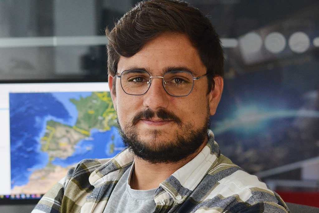
Aymeric Chandouineau, a Spatial Imaging Analyst at CLS, takes a few moments to assess a solar storm that is complicating his day this morning before speaking to us about his mission. In his role as an analyst, time is one of his main challenges, and his goal is clear: to protect our planet.
His ability to understand, interpret, and make satellite images speak is essential for maritime monitoring. He acts as a vital link between major European and national institutions in their daily fight against oil pollution and all forms of illicit trafficking.
The VIGISAT experts work to analyze and anticipate events that could threaten the safety of people and property at sea, supporting defense, border control, and marine ecosystem protection, contributing every day to safer seas.
The CLS Brest site hosts the first station of the VIGISAT network. VIGISAT is a high-resolution satellite image acquisition system owned and operated by CLS and renowned international expert teams. They run this unique station in France daily, providing services to hundreds of users: scientists, agencies responsible for monitoring and protecting our seas and oceans, experienced skippers aiming for new records, and industries seeking to harness wind power and make our oceans one of the sources of renewable energy.
Hello Aymeric Chandouineau and thank you for agreeing to answer our questions. Could you tell us about your background? What led you to become a radar imaging analyst?
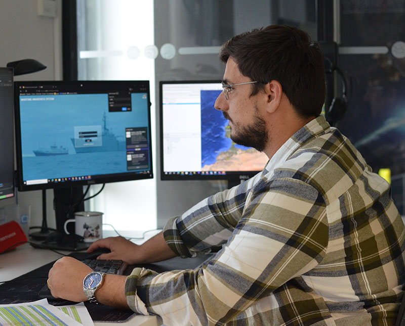 I am a former member of the French Navy, where I worked as an intelligence analyst in intelligence fusion, integrating several sensors such as Open-Source Intelligence (OSINT), electronic warfare (EW), human intelligence (HUMINT), and space-based intelligence, specifically imagery intelligence. After joining the Navy, I chose an operational path by opting for the detection field, which allowed me to explore several career options, such as becoming a helicopter controller or specializing in electromagnetism, including radar and electronic warfare, which I ultimately chose. My role then was to merge these sources to establish correlations and draw conclusions about events.
A defining moment for me was when I was transferred to Martinique in 2015, where I served on the frigate Ventôse as the intelligence deputy. I had the opportunity to collaborate with several national intelligence agencies. I also worked with the customs intelligence service, OCTRICE, as well as with Colombian and Dutch agencies on anti-drug trafficking operations. My role was to be in contact with these agencies, corroborate and compare our intelligence, and conduct an initial triage to filter the information. This helped optimize our chances of intercepting drug traffickers.
What challenges do you regularly face in your work, and how do you overcome them?
Our work is divided into two phases. The first involves a significant time constraint, as we must provide images to the European Maritime Safety Agency (EMSA) in near-real time. This means we have about twenty minutes to receive an image, process it, analyze it, and send it back with the results. This is a major challenge.
The second challenge is related to another contract we have, particularly the Trimaran contract. It is essential to understand the client’s needs, advise them in the best possible way, and offer the best acquisitions based on our suppliers. This allows us to specifically address the questions they have.
What are the most stimulating aspects of your job, particularly in the context of protecting the planet?
The goal of my job is to protect the planet and the oceans, but what resonates with me the most is the protection and enforcement of the law, particularly the laws of the signatories of the Montego Bay Convention regarding exclusive economic zones.
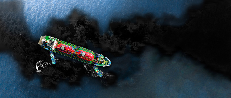
As part of our contract with EMSA, we are constantly looking for pollution. We can regularly detect pollution spills and report them to the European Maritime Safety Agency and clients such as Sri Lanka. For example, last February, we were able to spot a pollution spill in near-real time using satellite images. This allowed the authorities to respond quickly, intercept the responsible cargo vessel, and issue a fine. This tangible impact contributes to deterrence, even though it often manifests in the form of financial penalties.
Furthermore, as part of the Trimaran contract, we regularly work on resource protection by combating illegal fishing. We collaborate with the French Navy to detect this practice in remote areas, such as the Kerguelen Islands. Our efforts also extend to other clients, including in Thailand and Ecuador, as well as with occasional partners in Africa and Congo.
How does the VIGISAT station contribute to your work as an analyst? What are its specific capabilities?
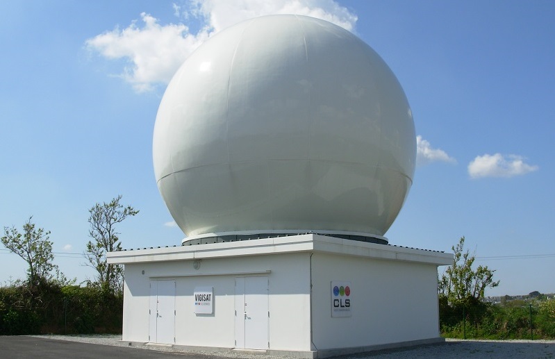
VIGISAT station in Brest
The VIGISAT network and the station of the same name located in Brest are the cornerstone of our daily work. Its main advantage is its ability to provide real-time images. As soon as the satellite is in the coverage area, what we call “the mask,” we can receive the image live. In general, only 2 to 5 minutes pass between the image capture, its reception on my computer, its reading, and analysis.
Can you give us a concrete example of how radar data is used to protect the environment or monitor maritime activities?
Our missions depend on our clients, but we have a broad range because our expertise is largely derived from military intelligence. Most of our analysts have operational experience, particularly within the French Navy. This includes aviation, as well as surface ships and submarines, and it helps us understand the realities of the sea.
For example, we are capable of detecting icebergs for events such as the Vendée Globe or the Trophée Jacques Vabre, as well as for missions in the Arctic. At the same time, we can conduct comprehensive investigations into sunken vessels or track ships involved in the trafficking of oil or liquefied natural gas.
How does your work contribute to CLS’ MAS (Maritime Awareness System) solution?
We work with MAS 99% of the time, which we regularly use to update our lists and tracking. MAS places data at the heart of operational theaters. CLS relies on this wealth of data to develop unique algorithms based on machine learning and artificial intelligence techniques. With these algorithms, MAS offers its users innovative features dedicated to the analysis and detection of behaviors of interest.
What is the most rewarding part of your job, particularly in the context of protecting ecosystems and the planet? Which project or mission that you have been part of makes you especially proud?
I would say that the most rewarding part of my job is the detection of pollution we carried out off the coast of Sri Lanka. The Sri Lankan authorities contacted us, and sanctions were imposed locally based on the pollution we detected. While we don’t always receive feedback on every case, this situation was a source of pride for me.
 In another area, all the investigations we conduct, particularly those related to monitoring fishing activities, are also very rewarding. For example, we observed migrations of the Chinese fishing fleet, which is extremely well organized, especially in the Pacific. Just like with pollution detection, MAS helps identify dark vessels, thus combating illegal fishing. When you work every day on issues that are so important for the protection of our oceans, your missions take on their full meaning.
Do artificial intelligence and data analysis improve your work processes?
Yes, absolutely. We use artificial intelligence for what is called automatic vessel detection. For example, when we analyze Sentinel images for EMSA in a high-traffic area, this technology allows us to perform automatic detections. In one glance, we can identify the percentage of false detections. Once these false detections are filtered out, the vessel detection has already been completed. This allows us to reduce a process that would normally take about twenty minutes to just three minutes.
VIGISAT and MAS for Maritime Security
CLS’ VIGISAT station, the first French civilian station dedicated to receiving radar satellite images, is a key asset for monitoring the Earth and its oceans. It allows for high-resolution imagery of any point on the globe.
The MAS solution developed by CLS, a maritime intelligence system and decision-support tool, extracts and analyzes critical information from various data sources (AIS, SAT-AIS, LRIT, VMS, optical and radar imagery, ELINT data, commercial databases, etc.), providing a comprehensive, real-time view of maritime activities.
Together, these cutting-edge tools enable CLS to efficiently monitor the oceans and provide key insights to maritime authorities.


