← Back
Tracking of Sargassum by CLS

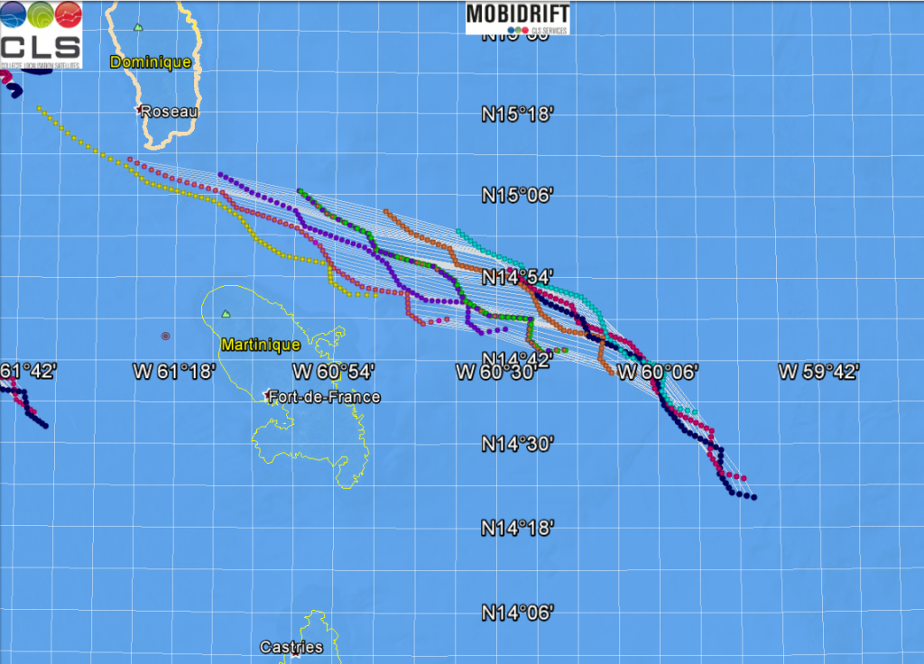
Since 2017 CLS collaborated with Nova Blue Environment to detect sargassum and predict landings in Guadeloupe and Martinique.
Combining satellite images with the CLS drift model MOBIDRIFT, very large Sargassum rafts are located offshore near Guadeloupe and Martinique; their drift is forecasted and the time and location of landing is estimated.
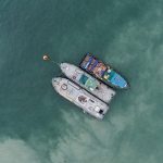
The aim being to organize a rapid collection to avoid inconvenience and damage to the local community and environment.
As sargassum algaes decompose, they emit hydrogen sulphide gas (harmful to humans in high doses) and a foul smell. This impacts the local economy (fishing and tourism) and has a devastating impact on wildlife.
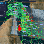
In 2015, CLS was tasked with implementing an operational satellite surveillance system based on multi-satellite detection using radar and optical instruments, with a drift model.